Could an App Solve Boston’s Gridlock Problems?
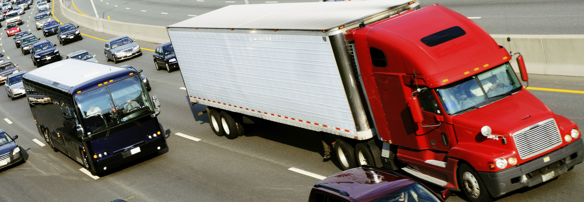
Boston has some of the worst gridlock in the country.
The average Beantown driver wastes 38 hours sitting in traffic each year, according to Forbes. But that may be a conservative estimate for motorists who are being slammed with consecutive snowstorms and icy conditions this winter.
"Over the past few weeks, it has become clear how critical it is to find innovative ways to improve traffic flow in the city of Boston," Mayor Marty Walsh said in a statement last month, announcing a new partnership with developers of Waze, the community-based traffic and navigation app.
Walsh believes the answer to improving Boston’s traffic woes lies in data. The city struck a new data-sharing partnership with Waze to help manage traffic flow. Specifically, the city will use traffic data generated by Boston’s 400,000 Waze users to help city engineers manage hundreds of traffic signals to better accommodate traffic flow. City officials will also use the app to inform residents about expected road closures.
If you’re wondering how Waze works, here’s a brief description from the app’s website:
After typing in their destination address, users just drive with the app open on their phone to passively contribute traffic and other road data, but they can also take a more active role by sharing road reports on accidents, police traps, or any other hazards along the way, helping to give other users in the area a 'heads-up' about what's to come.
In addition to the local communities of drivers using the app, Waze is also home to an active community of online map editors who ensure that the data in their areas is as up-to-date as possible.
“This partnership will help engineers in the TMC [Traffic Management Center] respond to traffic jams, accidents and road hazards quicker,” said Boston Transportation Department Commissioner Gina Fiandaca. “And, looking forward, the Waze data will support us in implementing — and measuring the results of — new congestion management strategies.”
The city is planning several pilots this spring to determine the best approaches for managing the traffic flow. One involves working with the Massachusetts Bay Transportation Authority to evaluate the effectiveness of giving transit vehicles priority at signaled intersections along key MBTA routes.
Repurposing Waze Data
According to the mayor’s office, “the city receives aggregated traffic speed data from the over 400,000 Waze users in the greater Boston area, which will allow it to measure before and after impacts on traffic speeds along targeted corridors.”
When asked if the data would be repurposed for other uses, such as helping law enforcement to target areas with a high number of speeding drivers, the city said it would reuse the data but not for that purpose.
“We're exploring several different ways to re-purpose the data received from Waze,” says Melina Schuler, the mayor’s senior media liaison.
What are your thoughts on Boston’s partnership with Waze?


