The Technologies Needed for Situational Awareness
Some cities may already have the elements needed to enhance their situational awareness. However, many don’t have a system in place to interconnect them and take full advantage, for example, of the video cameras a city has deployed.
It’s important for city leaders to begin the planning process with the end in mind. How would they want to pull all of the data a video camera and sensor system can collect so that the data can be used to make the right decisions at the right time?
The main building block for the video portion of such a system is a video management system. A VMS can support search analytics, including metadata on objects, faster retrieval of video and forensic searches.
Other tools, such as those from providers like Live Earth, incorporate geographic information system (GIS) data, vehicle tracking data and other video information, then tie it all together.
Such a platform might also pull in data from license plate reader cameras and sensors, GPS sensors or trackers in police squad cards, and from air quality monitoring stations and other connected sensors.
EXPLORE: What is the tech behind uninsured vehicle diversion programs?
The Benefits of Real-Time Situational Awareness
There are a multitude of advantages to collecting, aggregating and analyzing all of these data feeds.
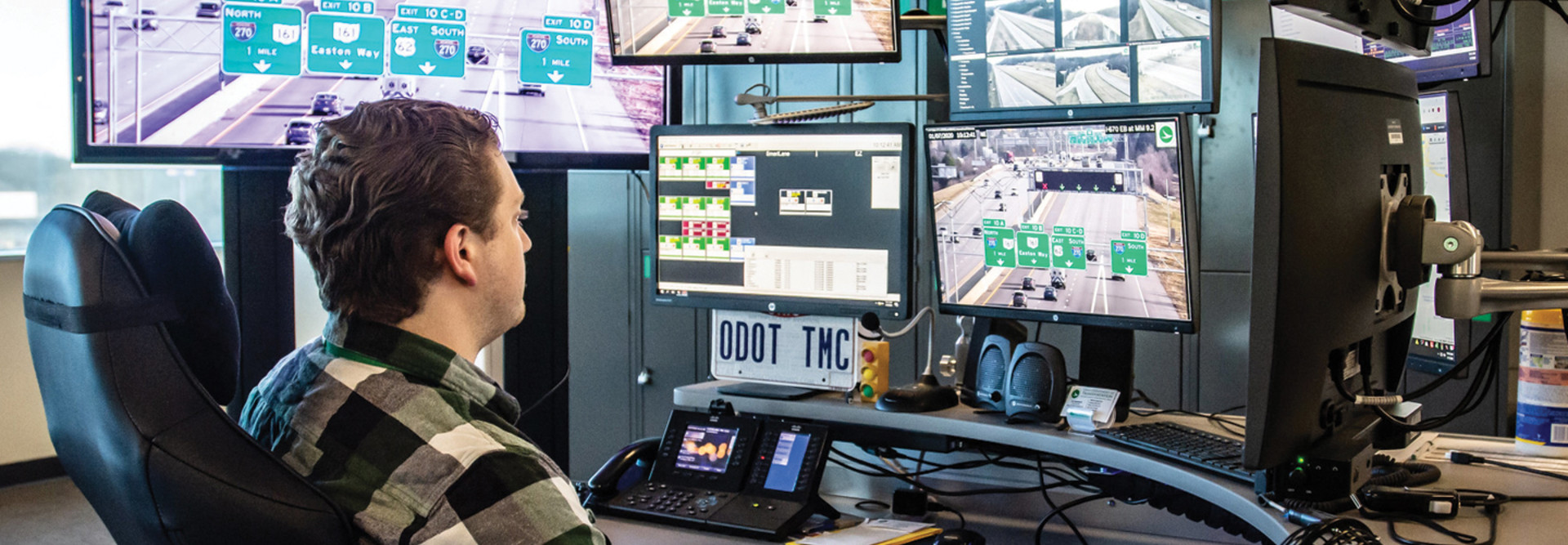
Emergency management and transportation operation centers can plot out where all of the cameras are in a location, and can also visualize on video walls where every police car and ambulance is, allowing those assets to be positioned and coordinated in case of an emergency.
Cameras can be programmed to detect illegal left turns or wrong-way drivers, with the video data used not for enforcement action but rather for better street or traffic signal planning. City officials also can use it to enhance their digital or physical signage to improve safety.
RELATED: Discover how better data enhances emergency response.
The data can also provide a more granular, real-time view into weather conditions and traffic. Public safety and transportation agencies can get an accurate and instant view of how many vehicles have entered into a certain area or left the city limits.
Data dashboards can also provide customizable data feeds for whatever city officials want to keep track of, whether that is vehicle traffic, pedestrian traffic or conditions captured via sensor data. Sometimes, officials don’t realize all of the things they can actually monitor. When that data is plugged into a citywide platform, it provides a more expansive view of what’s happening, and officials can drill down into the data that matters most to them.
The purpose of such a platform is not to enable cities to identify individual people or put anyone in a database. Instead, they allow cities to use real-time video feeds and data, alongside analytics, to get a better picture of what is happening in a city. That then allows city and IT leaders to improve planning and services.
With the right vision and technology in place, city leaders can get more value from their existing investments and make their cities safer and better able to serve the needs of residents.
This article is part of StateTech’s CITizen blog series. Please join the discussion on Twitter by using the #StateLocalIT hashtag.


