Cities Use Tech to Fill in the Gaps in Pothole Maintenance
Potholes aren’t just annoying for drivers. For many states and counties, they are a nuisance that proves to be a veritable whack-a-mole as troublesome and dangerous dips pop up faster than counties can spot and fill them.
This situation is exacerbated by the fact that budgets around road repair tend to be tight. While the National Surface Transportation Policy and Revenue Study Commission of the U.S. Congress estimates that it would take $185 billion a year to maintain the roads, highways and bridges in the U.S., the nation annually invests just $68 billion.
But the advent of the Internet of Things, Big Data, crowdsourcing and even drones helps city public works manage potholes — and helps stretch road infrastructure dollars even further.
SIGN UP: Get more news from the StateTech newsletter in your inbox every two weeks
Cities Build on Digital Tools to Pinpoint Potholes
Larger cities like Chicago are tapping data gathered on the streets to locate potholes, then schedule maintenance and repairs, Pothole.Info reports. To help repair crews identify and map plans, Chicago feeds open data from its 311 portal through a site called Opengrid.io to better understand and orient the repair process.
Similarly, in the much smaller city of Syracuse, N.Y., the Department of Public Works turned to data visualization to more effectively track and fill potholes around the city. It previously relied on information from 311 callers and city workers written down on a piece of paper to track pothole reports and repairs, Sam Edelstein, the city’s chief data officer, says in an Op-Ed in CIO Review. But the city wanted a way to digitally track, visualize and understand trends around potholes, so it employed a unique way to gather data.
Edelstein writes:
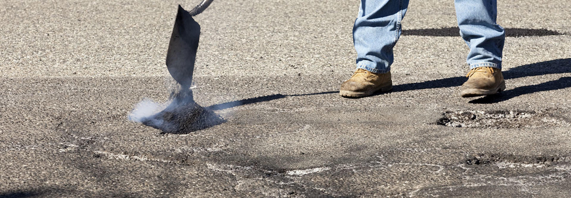
Each public works truck has a GPS unit on it. These units report the location of each truck every minute they are in operation. They also report if the truck is doing something — turning, putting salt on the road, or filling potholes. Our crews use a truck called a DuraPatcher to fill potholes, that’s equipped with a hose which shoots sticky emulsion followed by stone into the pothole to fill it. With some changes to the GPS settings, we began to track every time the hose was fired, which gave us the location and time each the pothole was filled — and the crews did not have to do anything additional in their process. It even saves the step of writing the pothole location down.
With this data available, the city then set up a way to filter, clean and visualize the information so city staff can access it in a database and the public can access it through pothole maps.
“Prior to this process, we could not tell the public that we fill hundreds of potholes per week or that five times as many potholes are filled as are complained about. Now we know these answers, and the public does as well,” writes Edelstein.
Kansas City, Mo., Uses Data to Prevent Potholes
What’s even better than spotting and filling potholes right away? Preventing them from happening in the first place. And IT and public works officials in Kansas City, Mo., are doing just this.
The city has launched a pilot program that employs multiple data streams — primarily from traffic cameras — to understand traffic patterns, volume, anomalies, such as accidents, and other metrics, such as weather, to schedule department maintenance on roads that need it most before they become an issue, Government Technology reports.
The combined data is sent to the city’s traffic operations center, which analyzes the information and deploys teams to resurface or repair roads based on predictive analytics. The program, which relies on software upgrades as opposed to new equipment, currently monitors six arterial roads throughout the city.
It will also allow the city’s road repair money to go further. Chief Innovation Officer Bob Bennett estimates the algorithm will enable the city to repair or resurface 35 to 45 miles of streets per year as opposed to 20 to 25 miles today. This is because the city will be able to predict where a trouble area will be before it becomes a major, and more costly, problem.
“And by doing that as routine maintenance, we are able to use materials, and we’re able to use equipment that we have allocated toward these types of tasks,” Bennet tells Government Technology. “We’re just doing it more intelligently now.”


