State and Local Government Make Safer Roads with IoT
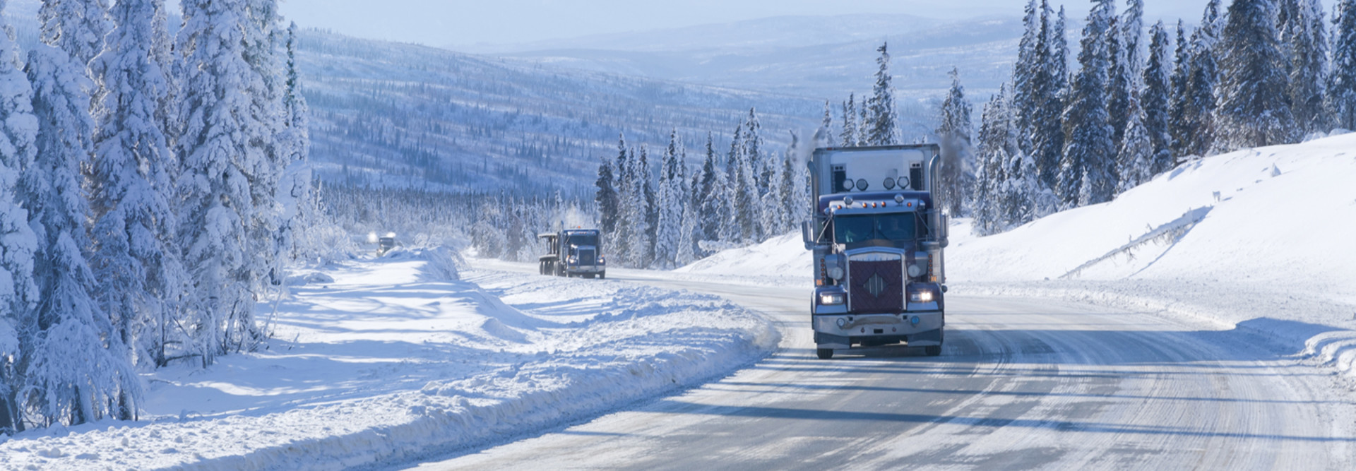
In 2010, the northern region of the Alaska Department of Transportation and Public Facilities (ADOT&PF) was hit with a new problem: ice.
That might sound like something Alaskans should be used to, but in the northern region of state, the ADOT&PF was used to dealing with fluffy snow that could be easily plowed, not a winterlong, two-inch ice layer that came from sudden warming periods followed by cold weather and ice storms.
“We were not equipped as a department or organization to deal with things like that,” says Dan Schacher, Fairbanks district superintendent at ADOT&PF. Street icing “seemed to be happening more frequently, so we saw the need to be proactive in the response to these events rather than sitting there and watching it happen.”
Instead of taking the costly measure of preemptively salting and sanding roads before every potential ice-producing incident, the ADOT&PF did what a lot of state and local governments around the country are doing: They turned to Internet of Things technology.
The ADOT&FP deployed its IoT solution — a combination of telemetry stations and sensors put on their own vehicles, with Microsoft Azure IoT used to analyze and clean the data supplied by these outlets — in the 2015-2016 winter season. The agency saw benefits almost immediately. It provided the same services with 25 percent less budget and helped reduce weather-related car accidents.
“The accident reduction was more than I had hoped for,” said Schacher, which he said is the biggest benefit of the program because of the focus on increasing safety and mobility for northern Alaska residents. That’s not the only benefit, though: “We’re not just improving safety. We’re reducing our operations costs as well,” he adds.
Cities and States Use Tech to Improve Streets
The U.S. Department of Transportation estimates that over the next 30 years, America’s population will grow by 70 million people, and freight moving across roads, rails, pipelines and airports will increase by 45 percent.
“As a nation, we will not be able to build our way out of the growing congestion and all its effects,” Carlos Monje Jr., then acting undersecretary of transportation for policy and assistant secretary for transportation policy at the USDOT, told the U.S. Senate Committee on Commerce, Science and Transportation’s subcommittee on surface transportation and merchant marine infrastructure, safety and security in 2016. “Instead, we have to be smarter about the capacity we have. Emerging technology has the potential to dramatically improve our lives.”
He spoke about the potential for IoT to bring transportation and infrastructure into the 21st century, and state and local government departments of transportation have taken that message to heart.
For example, Memphis, Tenn., with its 340 square miles and 6,800 lane miles of streets, has collaborated with Google and SpringML to apply artificial intelligence and machine learning to detecting potholes and vacant properties, with over 90 percent accuracy.
By identifying 75 percent more potholes, it also reduced claim costs for damage due to unaddressed potholes, which saves the city up to $20,000 per year.
In June, the Utah Department of Transportation (UDOT) announced a partnership with Panasonic Corporation of North America to develop an advanced transportation data network that they predict will improve safety and mobility on the road by sharing data between vehicles, infrastructure, roadways and traffic operators in real time.
Utah already has infrastructure in place for this, says Christopher Armstrong, vice president of CIRRUS/V2X at Panasonic USA. Utah built the first operational connected vehicle corridor in the country. It now has three such corridors, and buses equipped with special radios are already “talking” to traffic signals along these roads.
The new project will expand the footprint of this infrastructure and allow the UDOT to accelerate development toward a statewide system for collecting, monitoring and sharing connected and autonomous vehicle data.
“The platform is really intended at its core to be a data management, data access and data availability platform taking advantage of the high-fidelity data to be coming in from connected cars,” Armstrong says.
That data collected will be managed and analyzed by CIRRUS at Panasonic in a lot of different ways, he says, the first being the use of “hot data” to help the DOT make quick decisions in cases like an accident or a bus running behind schedule.
After that, what Armstrong calls “warm and cold” data can be “valuable for analytics, identifying trends, informing planning policies, informing safety campaigns and efforts, or improving traffic operations,” he says.


